-40%
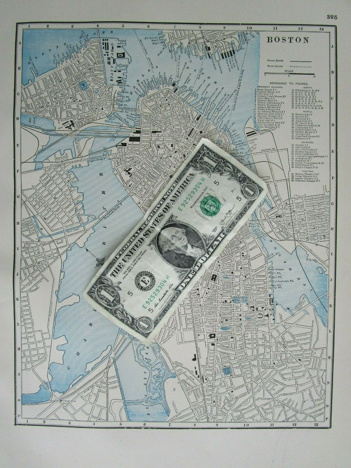
MA 1895 BOSTON City Map Historic 19th Century 1800s Horse Roads Black White Blue
$ 8.97
- Description
- Size Guide
Description
Combined shipping is offered in the shopping cart.Multiple payments will result in multiple shipments.
Genuine late 19th century
gold gilt edged
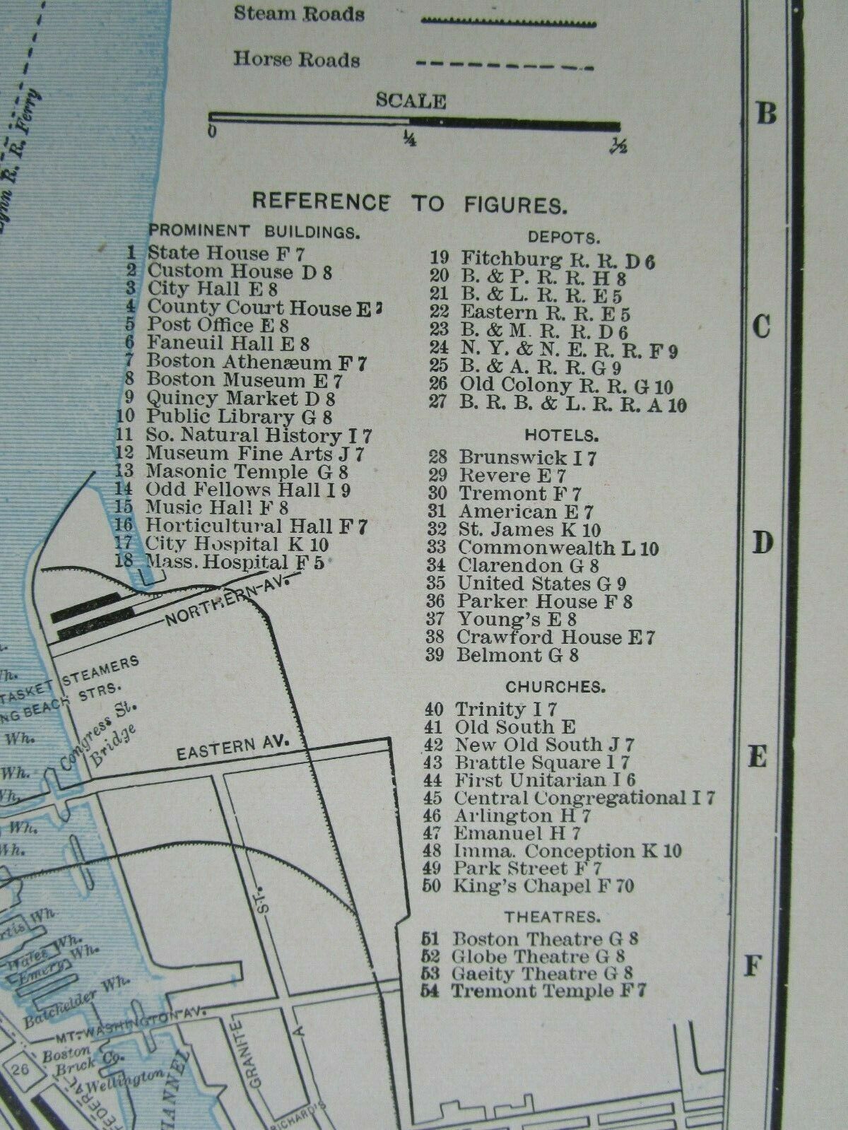
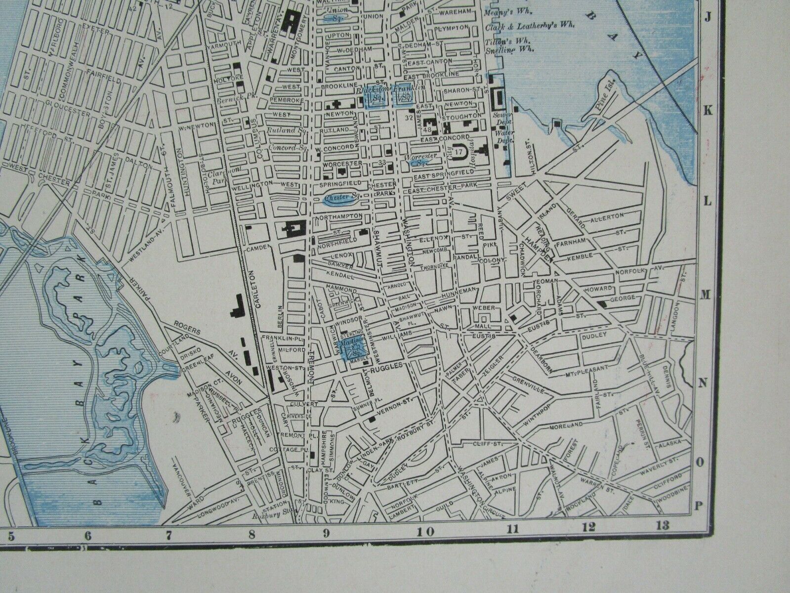
city street map of Boston, Massachusetts in neutral black, white, and blue. Street names are noted as well as the steam and horse railroads as well as depots, churches, prominent buildings, hotels, and theatres.
Heavy paper single sheet with a map in the border of 9 7/8" x 12 7/16" with margin beyond. Sourced from the 1895 George Cram Standard American Railway System Atlas (last photo).
The other side has a partial map.
Amazingly detailed ORIGINAL 19th century historic home decor conversation piece. The way it was over a century ago.
Overall fine. Impressive for 125+ years old.
More Massachusetts maps here:
http://www.ebay.com/sch/m.html?_odkw=&_ssn=stereoview&_osacat=0&_from=R40&_trksid=p2046732.m570.l1311.R1.TR12.TRC2.A0.H0&_
nkw=massachusetts&_sacat=0
Search my listings for your state:
http://www.ebay.com/sch/stereoview/m.html
Returns only if item is not as described. The photos are part of the description.
INV: 0-6.1895-1.cram.rwy.325
