-40%
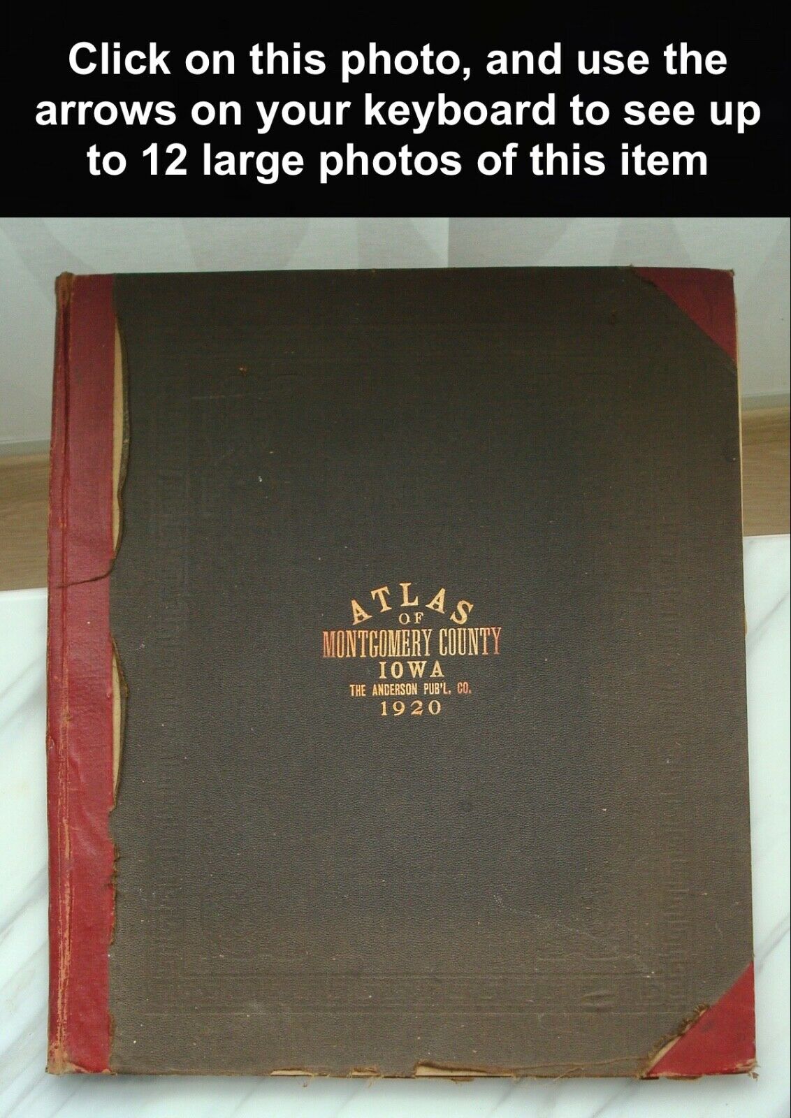
Antique 1920 MONTGOMERY COUNTY Iowa ATLAS Maps RED OAK Farm Directory Complete
$ 68.63
- Description
- Size Guide
Description
Antique 1920 MONTGOMERY COUNTY Iowa ATLAS Maps RED OAK Farm Directory- Complete -
DIMENSIONS
: 15” x 17 ½”
DESCRIPTION
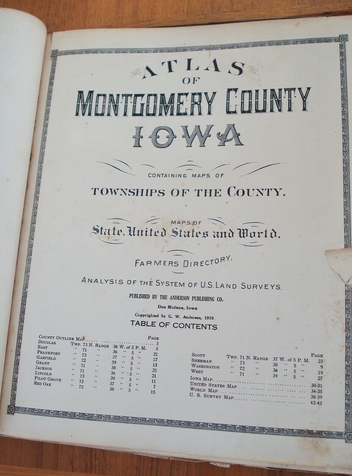
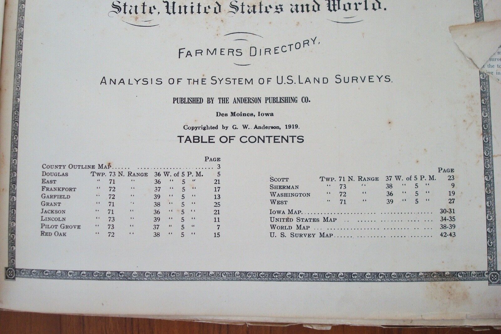
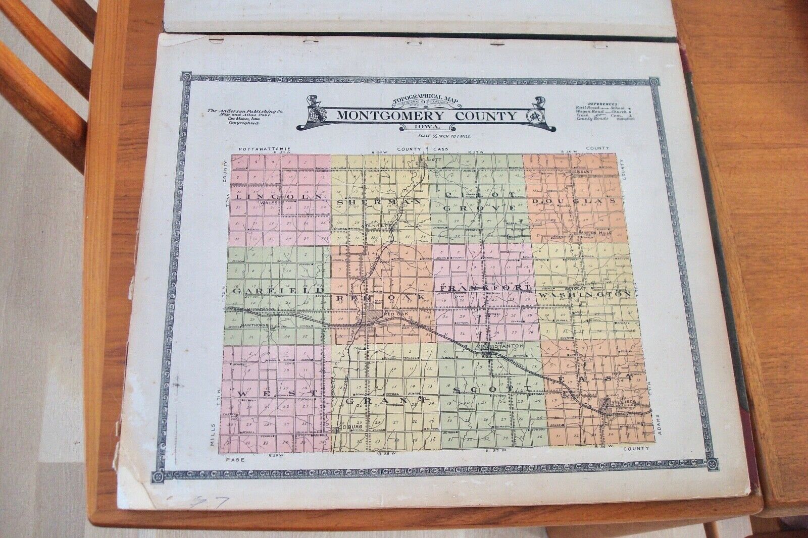
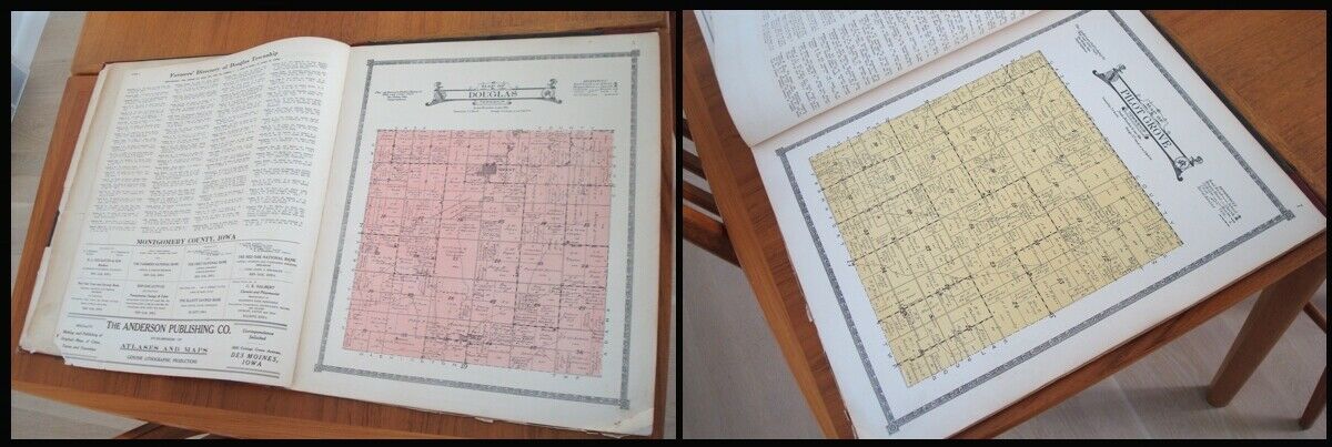
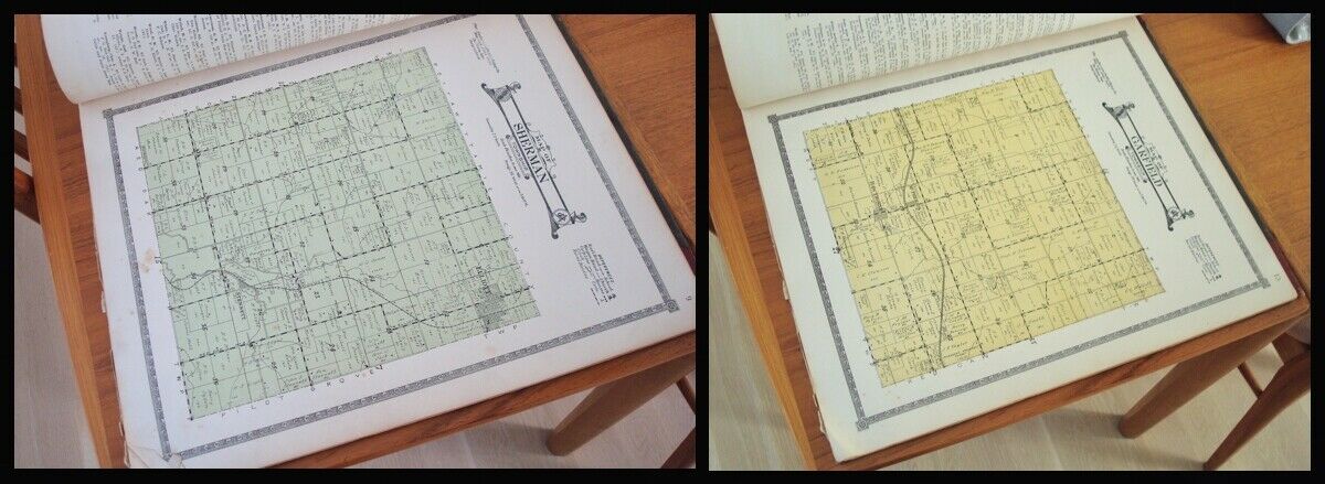
: Neat old large 1920 atlas and farmer’s directory for Montgomery County in Iowa.
This includes Red Oak, Grant, and others.
27 pages plus 16 additional pages of advertisements, maps, indexes, and glossaries, etc. for a total of 43 pages.
CONDITION
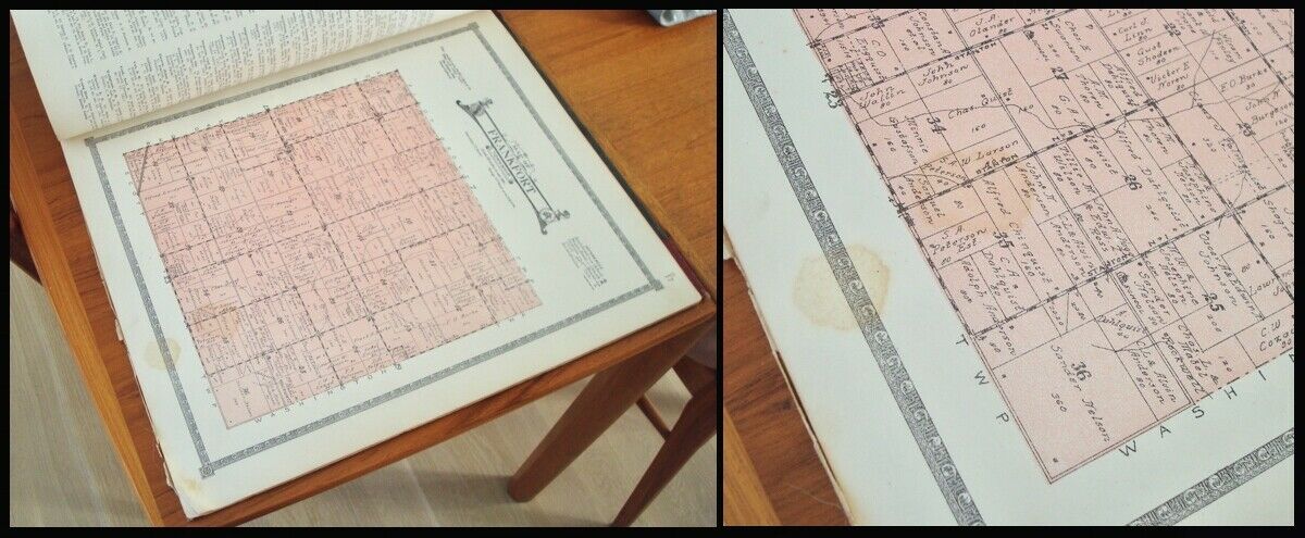
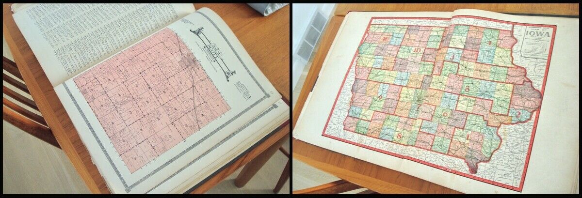
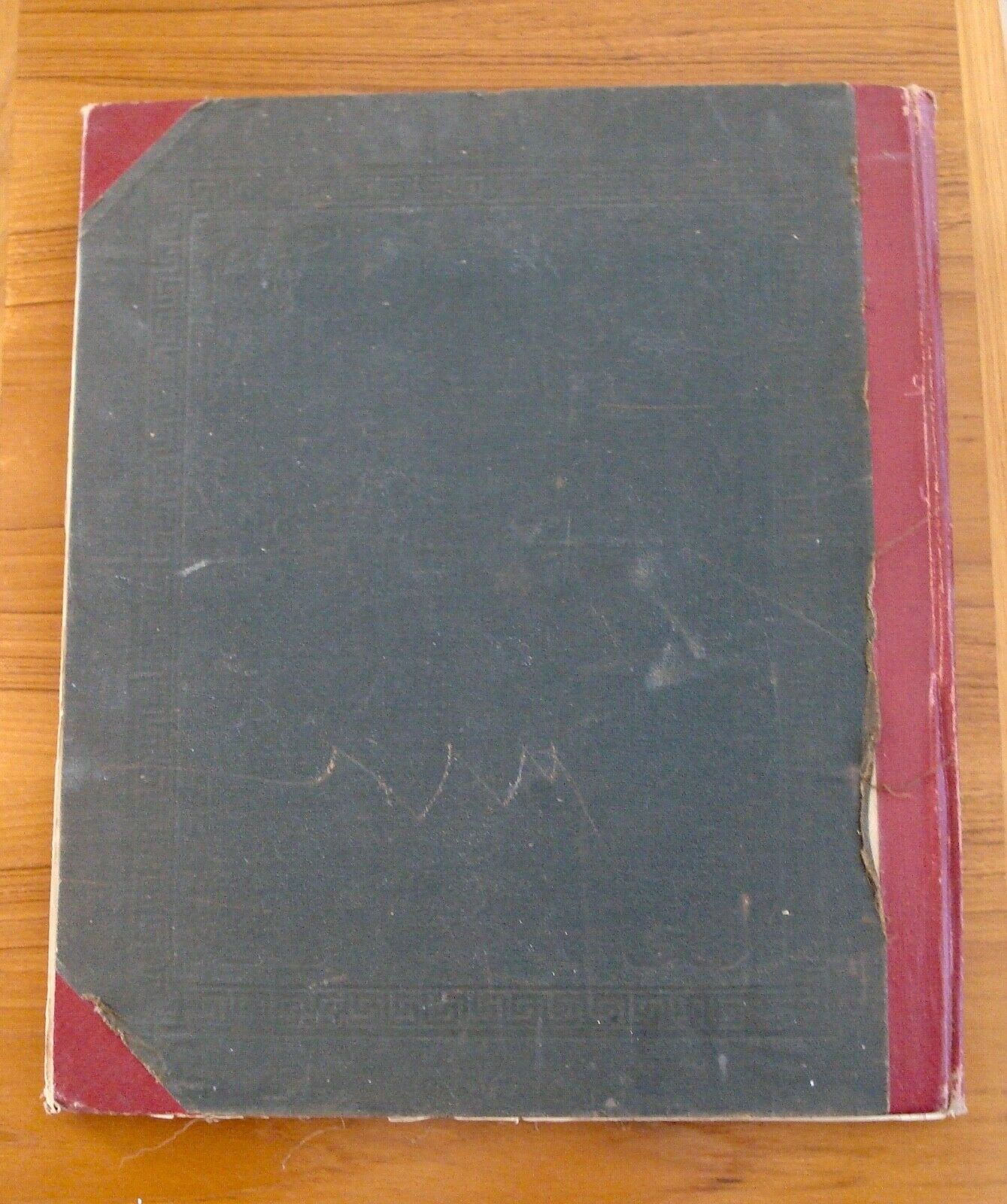
: This is complete with no missing pages. Wear to the cover. The binding is loose at the spine. Edge tears to the first few pages. Some light stains to page 17 (see 9th photo). The county map pages are in pretty nice shape with some creases/losses to the bottom corners as seen in the photos. Crease to the world map on last page. The pages have some yellowing but are not brittle.
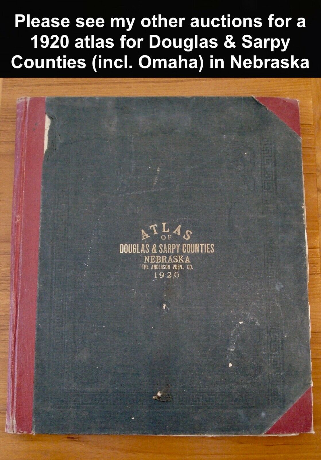
PLEASE SEE MY OTHER AUCTIONS for
A 1920 ATLAS FOR DOUGLAS & SARPY COUNTIES in NEBRASKA from the same estate (see last photo).
